
Dewberry
Rubus caesius
Floodplains, ditches, riverbanks, dune slacks and damp woodland edge: the same rough ground as raspberry but wetter. On a dry felled slope raspberry takes its place.
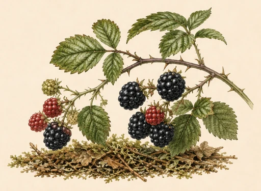
Ripe fruit is black with a blue-grey bloom and comes away with its white core — that is what separates a bramble from a raspberry, which leaves the core behind. It ripens in waves until the first frosts.
Where people are picking now
the best place in the region — not an average over the region. Regions are ranked by today's number.
The fraction beside the stage says how many measurement points out of how many the region was computed from. “1/22” means the weather history was long enough at one place out of twenty-two: the number describes that place, not the whole region.
- Abruzzoripe100
- Emilia-Romagnaripe100
- Friuli-Venezia Giuliaripe100
- Liguriaripe100
- Toscanaripe100
- Trentino-Alto Adigeripe100
- Valle d'Aostaripe100
- Venetoripe100
- Ticinoripe100
- Piemonteripening2/4982
- Calabriadropping0
- Campaniadropping0
The forecast is computed for 17 regions out of 583. The rest are not listed — that is "not computed", not "no berries".
Map
The field is built from a network of measurement points, the way a meteorologist draws a rainfall map from a network of stations: the value is computed at each point and interpolated between them. A cell is about 250 km² across, which is the resolution our weather data comes at, and we do not draw it finer: that would be invented precision. Only the “how much” goes into the colour, not the stage: “a little, ripe” and “plenty, still green” look the same on the map — read the stage on the card. Blank cells are where the season history was too short to compute, not where the berry is absent.
All berries, compared for today
Your comment
No sign-up. A question, a correction, an observation — all welcome.